

The trail to Deer Pond from Route 3 gets a lot of attention, but this route is just as fine, as a one-way to Deer Pond or as a longer hike to Lead Pond. The trail has a remote feel while never being very far from the road.
Key takeaways
- Distance: 9.2 miles, round trip
- Elevation gain: 750 feet
- Hike includes trail junctions and bridges
Hiking to Lead Pond
Once through the DEC gate start your hike along an old woods road through an attractive Adirondack forest. This initial 0.75 miles is rather flat. After 0.75 miles you come to the Deer Pond Trail from Route 3, take a right onto this trail. Aside from some occasional rolling hills you can enjoy an easy hike. As you near the pond, a short climb will bring you to a shoulder of a small knoll before coming to a trail intersection with Lead Pond on your right at about 2.5 miles from the trailhead. Follow the Lead Pond Trail.
The trail continues to Lead Pond, and while from here on out it gets much less use, it is a very nice hike. You will move around to the north side of Deer Pond before finally progressing away and climbing over a small hogback before accessing Lead Pond. An old trail used to access the pond from the Fish Creek State Campground, but it is, at this point, unmaintained and not recommended to use, even if it can be found.
Lead Pond in the winter
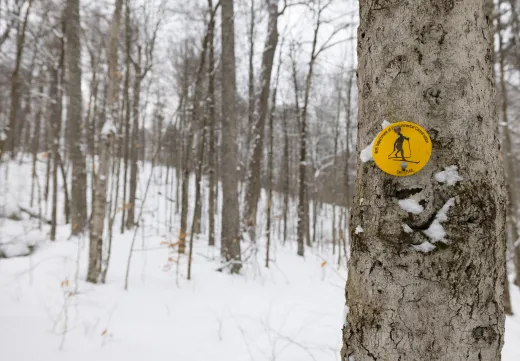
Access is open for this trail in the winter, but do not expect it to be broken out as it gets little winter use. It can be part of a crosscountry ski loop of Deer Pond. This is a fairly long and isolated trail, especially in the winter, so be prepared for all winter conditions.
Discover more trails in Tupper Lake
Does Deer and Lead Pond sound amazing, but a little more than you want to tackle right now? No need to stress, with endless mountains, lakes, and waterfalls to visit in the Adirondacks, we are sure we can help you discover a trail that’s just right!
How to get there
From the intersection of Route 30 and Route 3 in Tupper Lake, follow Route 3/30 toward Saranac Lake. Continue to where Route 30 and Route 3 split and follow Route 30. Continue for just under 1 mile to the trailhead on the left.


Packages and Promotions
Valid Apr. 16 - May. 22
Valid Dec. 9 - May. 22
Thursday Meal Deal
Raquette River Brewing
Thursday Deal at Raquette River Brewing! Every Thursday, head to Raquette River Brewing for a deal you won't want to miss. Spend $14 at LJ Food Truck and/or Fusion Street and receive a FREE drink token for your next round at the brewery. This special...
Valid Jan. 20 - Jan. 20
Valid Jan. 20 - Jan. 20
Pet Getaway
Voco Saranac Lake
Your dog deserves an Adirondack getaway too. Book our pet friendly hotel near Lake Placid welcomes every member of your crew. Book our Pet Package and enjoy a dog friendly room with pet fees included.
Valid May. 25 - Jun. 7
Valid Mar. 9 - Jun. 7
Complementary Breakfast at The Enclave
The Enclave
From May 28 - June 8, enjoy an exclusive special: Complementary Breakfast! Just a 3-minute walk to the Rail Trail connecting Tupper Lake & Lake Placid Easy access to the Tupper Triad & Junction Pass Trail Sip local craft brews at Raquette River...
Valid Jan. 20
Valid Jan. 20 - Jan. 20
Stay and Dine
Voco Saranac Lake
Receive a 50 dollar credit per stay to use in our Boathouse Saranac Lake Pub. Enjoy an exceptional dining experience with unparalleled views great food and craft beers in a friendly and relaxed environment.
Discover More
Totally Tupper Lake
Deer Pond Loop and Post-Ski Pints: A Ski Tour in Tupper Lake
For an intermediate cross-country skier, the Deer Pond Loop offers a backcountry ski that is a stone's throw away from great food and drink in Tupper Lake.
