
Note: This blog was written in 2015, and was updated in January 2023 by Troy Tetreault
The Cranberry Lake 50, a classic Adirondack multi-day hike
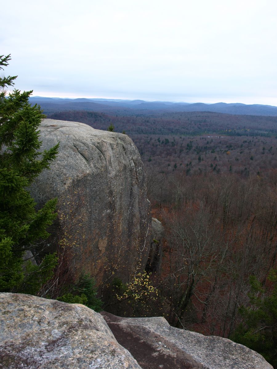
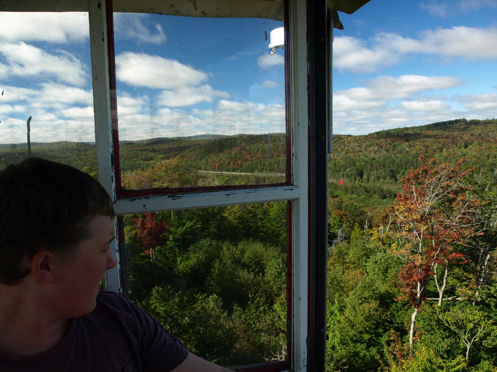
A long distance trail just for you, the Cranberry Lake 50 (CL50) is what you might imagine, a fifty-mile trail that circles the third largest lake in the Adirondack Park. What makes this trail so unique is in its offerings of mountains, ponds, streams, rivers, scenery, and a true wilderness experience.
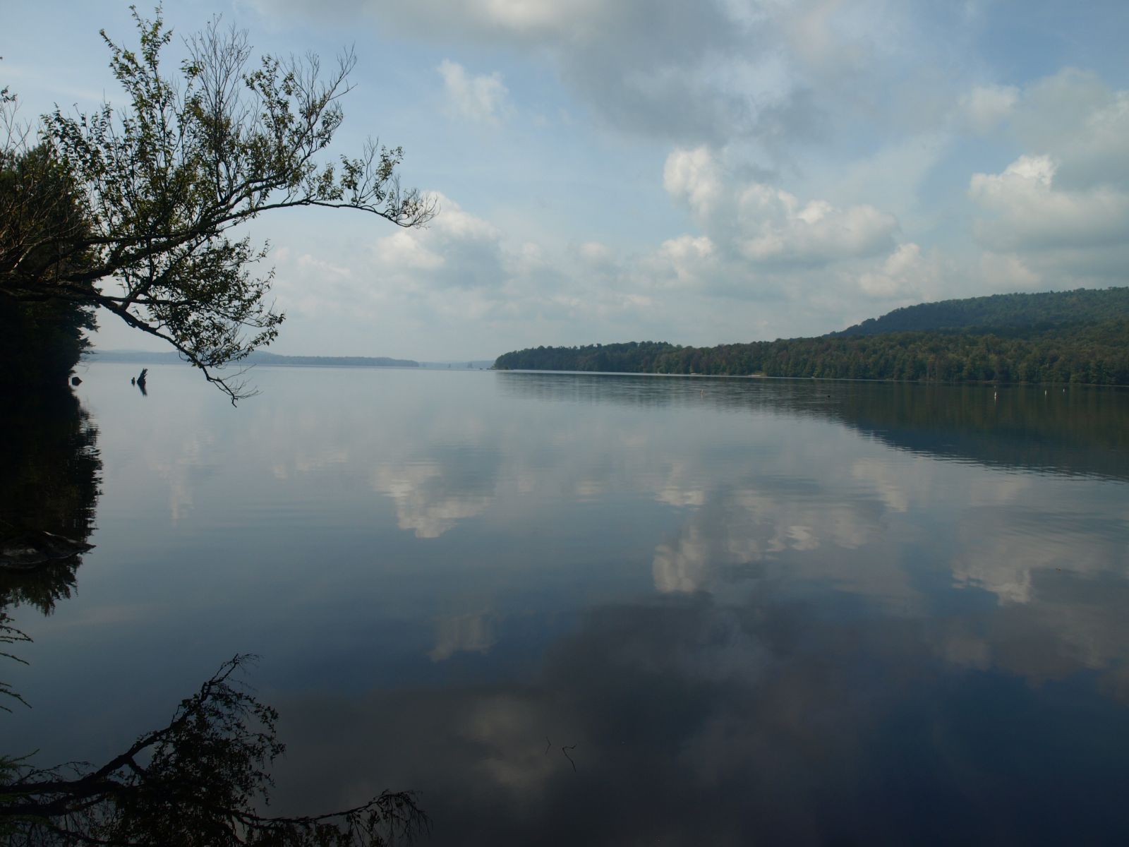
The loop can be completed in as little time as you want; in fact, the fastest known time (FKT) is below 9 hours. Some people take 5-days, but overall the average is 3 - 3.5 days. There are several side trips along the way that will tempt you to take a bit longer, and I encourage you to take advantage of these opportunities.
Camping along the trail
Now, as for camping, there’s plenty of that. Tenting sites are available, and marked on the map. Some tenting sites rest right on the shore of Cranberry Lake, while others sit further back into the wilderness. Many sites will have options for swimming - and unlike the High Peaks, campfires are allowed. If you find yourself far from a designated campsite, then primitive camping is an option. Camping is prohibited within 150 feet of any road, trail, spring, stream, pond or other body of water except at designated areas, but if you go beyond 150 feet (or roughly 60-70 adult paces), then you can set up your tent! If you are looking for a night more closely resembling glamping, then take a slight detour over to Cranberry Lake campground where they have some amenities not present along the rest of the trail.
There are several lean-tos situated in scenic locations on the Cranberry Lake 50 loop. Olmstead Pond lean-to is a favorite because of its easy access to pristine ponds.
Reroutes
The Cranberry 50, when it was first developed, had an entry point at Peavine Swamp and another at the Burnt Bridge Pond Trailhead, this left nearly 6-miles of walking along Route 3 through the Hamlet of Cranberry Lake. But as of the summer of 2015, two trail sections have been created to eliminate all but 1.9 miles of that walk. There is still a walk through the hamlet, but that’s not a bad thing! The two sections are named and described as:
-
East Connector Trail: This is roughly a 1-mile section of trail that starts just east of Cranberry Lake at what is called the Gilbert Tract. At the Gilbert Tract parking area the trail leads out to the back right. Passing by attractive ponds and through a welcoming forest you will come out to the existing Bear Mountain Trail. You can now take the Bear Mountain Trail to the Burnt Bridge Pond Trail eliminating a large section of the road walk on Route 3.
-
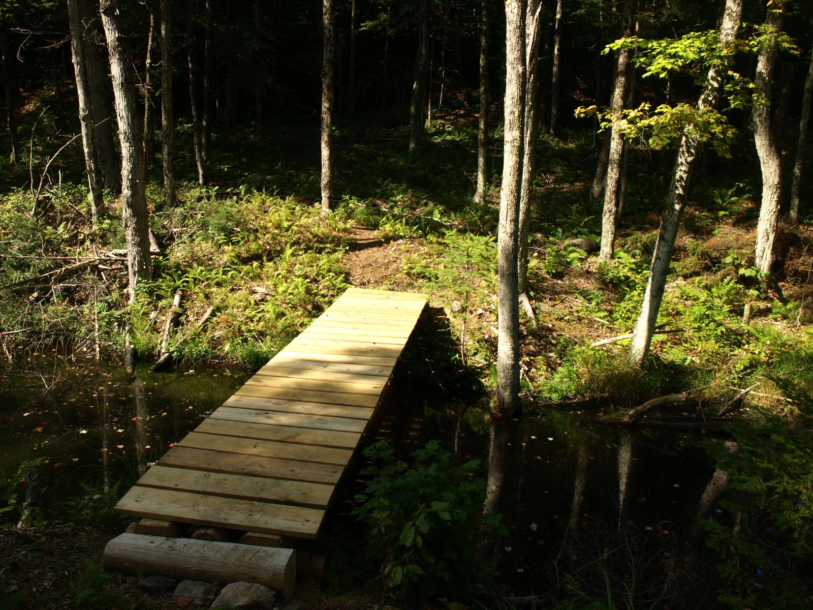
West Connector Trail: This new section of trail is just shy of 3-miles and connects the Peavine Swamp Trails (loop 1) to the State Boat Launch site on Columbian Road. From the boat launch site you will hike easily through an old forest, harvested not all that long ago, but grown in beautifully. Passing by tall cliffs the views are pretty neat. Eventually you drop steeply to a bridge over a wetland outlet and climb steady and steep at times to the Peavine Swamp Trail Loop 1. This removes a large portion of Route 3.
The two connector trails do add a bit of distance to the loop, but overall I believe it adds so much more than just steps, it adds character, adventure, and more time in the forest, which I would bet is why you started this journey in the first place.
What’s new?
Five Ponds Partners (FPP) has released new iterations of the Cranberry Lake 50 map and guidebook. The new updated map is waterproof and tear-proof, and the guidebook is full of information on the newer sections of trails. Both of these essential items, as well as other CL50 merchandise, are available at local gear stores and shops. You can also print the pdf version on the Cranberry Lake 50 website.
2022 saw the completion of a couple re-route projects, which include a 600-foot section along the Campground trail, and a 285-foot re-route of the Bear Mountain trail. The latter takes the place of a steep and eroded trail, and has now become a must-do side-trip.
Winter on the Cranberry Lake 50
A thru-hike of the CL50 in winter months is a tall task, and not typically attempted because of deep, accumulated snow and low traffic. However, sections of the trail make for great cross-country ski and snowshoeing opportunities. Check out the East Connector trail mentioned above, or strap on your snowshoes and head up Bear Mountain! It's important to step onto the trail prepared for the winter! Check the weather, have the proper gear, and don't be afraid to turn around.
What are your options for parking to start the hike?
-
Dead Creek Flow trailhead - South Shore Road in Wanakena, NY
-
Peavine Swamp trailhead - NYS Route 3 west of Cranberry Lake, NY
-
DEC boat launch trailhead - Columbian Road in Cranberry Lake, NY
-
Cranberry Lake Community Center - Cranberry Lake, NY (behind building), trail accessible with a one mile walk through town in either direction.
-
Gilbert Tract trailhead - NYS Route 3 just east of Cranberry Lake, NY
-
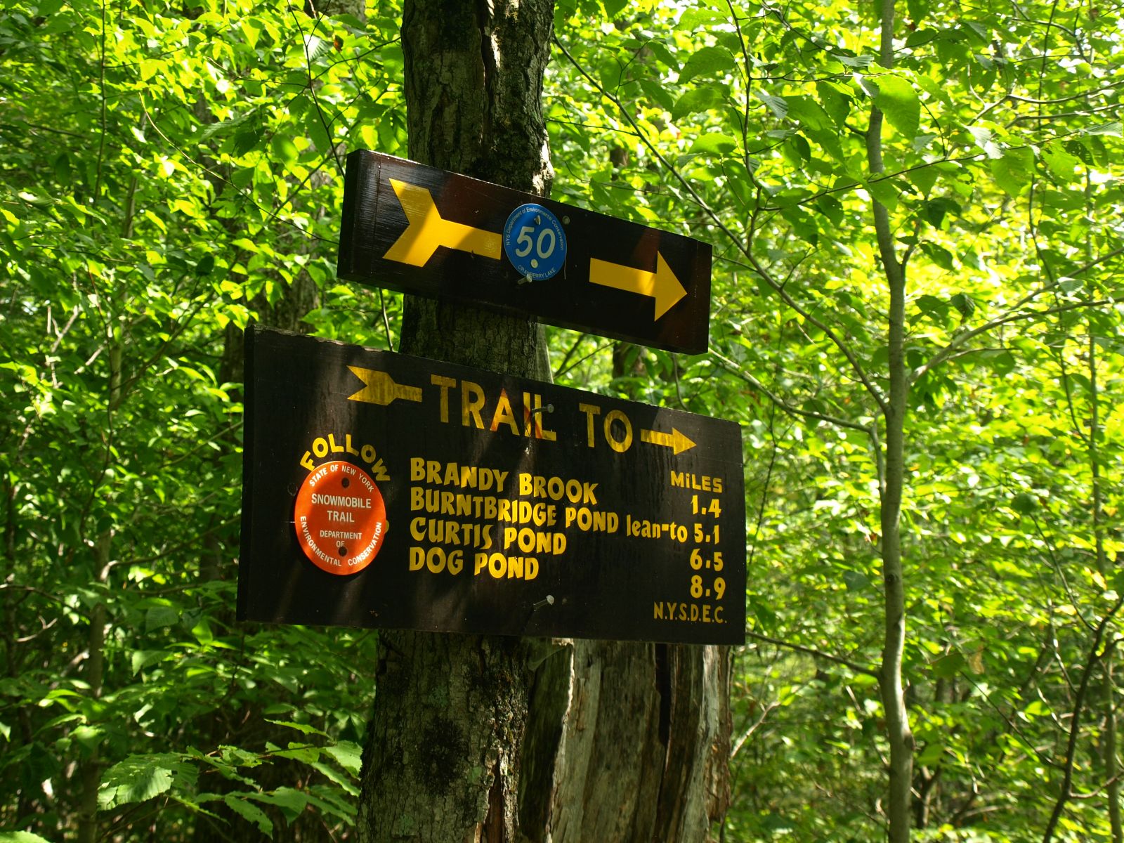
Burntbridge Pond/Brandy Brook trailhead - NYS Route 3, about two miles east of Cranberry Lake, NY
-
High Rock "truck trail" trailhead - South Shore Road in Wanakena, NY
Planning your trip
So, now that you have some of the down-low on the Cranberry Lake 50, you can start to plan your trip out and visit us. If you want more information on the trail:
-
Visit the Cranberry Lake 50 website.
-
Download the PDF brochure and map.
-
Find them on Facebook.
Ask questions, read about others' adventures, and get help planning your adventure.
Then, once you finish your trek, be sure to write the Five Ponds Partners to get your patch. A small $5 donation is requested!

