
Seven hikes for daylight savings
Mount Arab
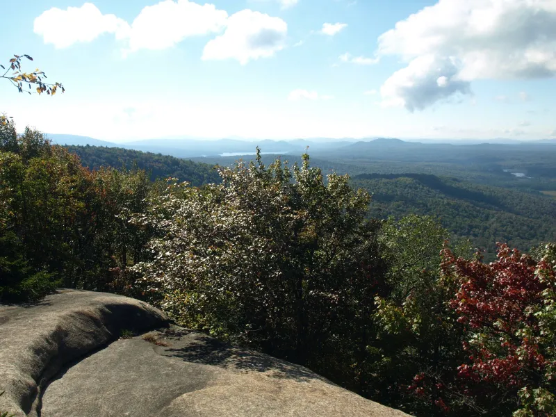
Distance, round-trip: 2 miles
Estimated time: 3 hours
Brief overview: From the parking area, walk across the road and start climbing immediately. The climb is steady but not too demanding. The trail is well trodden and usually busy on weekends. A long staircase on a steep slope adds a bit of character and you pass by a small, attractive, rocky face. The ridge just prior to the summit is a nice location to search for hidden views. There are also great views from the fire tower and from a couple of rocky lookouts along the summit crown.
Other notable features: Mount Arab has a fire tower on its summit, making it well worth the time to hang out up there. You could even bring a picnic lunch to enjoy in the cab. This is a great hike for a sunset or sunrise destination.
How to get there: Follow Route 3 out of Tupper Lake toward Piercefield. Once in Piercefield, cross over the Raquette River and look for County Route 62 on the left. You'll also see signs for Mount Arab. Follow CR 52 to Mount Arab Road, on the left. Cross the railroad tracks and locate the trail just a bit farther up on the left. Parking is on the right.
Goodman Mountain
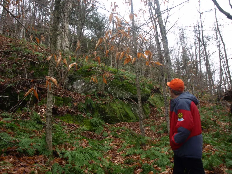
Distance, round-trip: 2 miles
Estimated time: 3 hours
Brief overview: From the trailhead, hike along the old highway corridor that used to connect Tupper Lake to Long Lake. Once you cross the bridge over Cold Brook you will be able to see hints of the old tarmac beneath you. The trail remains very easy for quite some time as you climb slowly up to a foot trail. Once on the foot trail portion of the hike the grade remains quite easy. The trail then climbs steeply for a short pitch to the upper ridge, where it quickly approaches the summit. The summit has outstanding views out over the Horseshoe Lake Wild Forest, and if you poke around a bit you can find views out toward Tupper Lake and Mount Morris.
Other notable features: This trail was recently marked, although a herd path has existed on this mountain for quite some time. The state Department of Environmental Conservation recently adopted the route. This mountain was at one time called Litchfield Hill, but renamed Goodman after the family who frequented it.
How to get there: Follow Route 30 out of Tupper Lake toward Long Lake. Continue for about 8.5 miles and you'll see the trail on the left, just past the intersection of Route 421 to Horseshoe Lake.
Black and Bridge Brook ponds
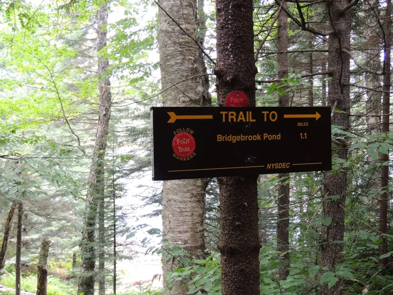
Brief overview: Black Pond is a roughly 1-mile hike from the trailhead over a seldom-used trail, but it will give you a rewarding and secluded few hours in the woods. The trail starts flat as it passes through an open and welcoming forest. This is a relatively new trail with limited publicity, and since the trailhead is difficult to locate it isn’t gaining much popularity. Rolling hills will get you rather quickly to Black Pond.
Just above Black Pond the trail splits. The left fork drops steeply to the Shore of Black Pond which is only about 200 feet away, and the right goes to Bridge Brook Pond, a great destination as well if you have time to expand your outing. To get to Bridge Brook Pond stay on the trail above Black Pond and hike the rolling hills through two dry beaver washes. Next, you will enter the forest and hike over more rolling hills before heading downhill to a campsite above Bridge Brook Pond. A short path to the shore will get you to a canoe access point for the campsite.
Other notable features: There is a wonderful campsite above Bridge Brook Pond if you want to turn this into a two-day family outing. Bridge Brook Pond can also be approached by water via Tupper Lake.
How to get there: Follow Route 30 out of Tupper Lake toward Long Lake. Continue for about 8 miles and turn right on Route 421, toward Horseshoe Lake. Follow Route 421 for roughly 3.5 miles to the trailhead on the right. You will need to look closely for the trailhead as it is hidden from plain site. The only parking is roadside and the small trail sign is on a tree set back from the roadway.
Hitchens Pond and Lows Overlook
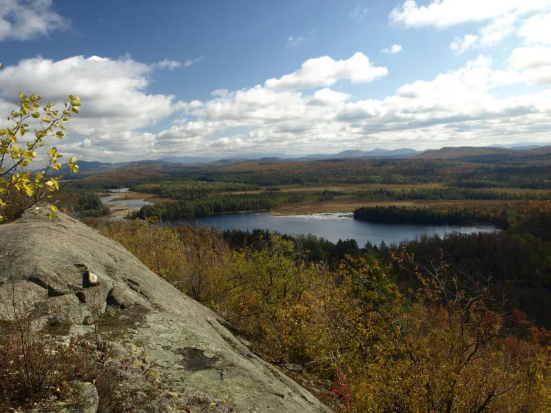
Distance, round-trip: 7.4 miles
Estimated time: 5 hours
Brief overview: From the parking spot at the gate, follow the access road on foot. This road is a very easy walk as you pass through a massive wetland. The road is 2.7 miles back to Lows Upper Dam and Hitchins Pond. Prior to the dam the trail to Hitchins Pond comes in on the left. You will pass by several remnants of old homes and after about 0.1 miles you will be on a grassy shore overlooking the pond.
Return back to the intersection and locate the Lows Overlook Trail, which will be straight ahead and to the right of an old foundation. The trail is a moderate climb with only a couple of small, steep pitches. You will come to a wonderful viewing area along a rock spine overlooking the Bog River and down to Lows Lake. If you head to the left along the rock spine you will come to a plaque on the rock ledge.
Other notable features: If you look close on the rock, you can see old carvings dating back many, many decades. Hitchens Pond and Lows Overlook can also be reached by canoe or kayak by paddling the Bog River from Lows Lower Dam.
How to get there: Follow Route 30 out of Tupper Lake toward Long Lake. Continue for about 8 miles outside of town and locate Route 421 to Horseshoe Lake on the right. Follow Route 421 past Horseshoe Lake and cross the railroad tracks. Continue for about 1 mile to the access road on the left. This is the first gated road past the railroad tracks.
Deer Pond Loop
Distance, round-trip: 7.3 miles
Estimated time: 4 hours
Brief overview: The hike starts along an old woods road with a wide track through an attractive Adirondack forest, where it doesn’t take long to get that middle-of-nowhere feel. The trail remains very flat for most of the hike to Deer Pond, but easy rolling hills will be scattered throughout. As you near the pond the trail drops steadily to a trail intersection with Lead Pond. For the best view of Deer Pond, follow the Lead Pond Trail for a bit to a nice rock outcrop. To continue the loop, return to the intersection and take a right. The loop will add a couple of extra miles. The loop is easy, with only a few rolling hills along the way. It's mostly a slow descent down to Old Wawbeek Road (closed to motor vehicles). The walk along the old road is easy and will quickly return you to your vehicle.
Other notable features: There is a side trail to Lead Pond, which is an option to extend the day, but it will require a 4-mile out-and-back hike and an additional 2 to 3 hours.
How to get there: Follow Route 30/3 out of Tupper Lake toward Saranac Lake. Continue for 3.5 miles out of town to the trailhead on the left.
Panther Mountain
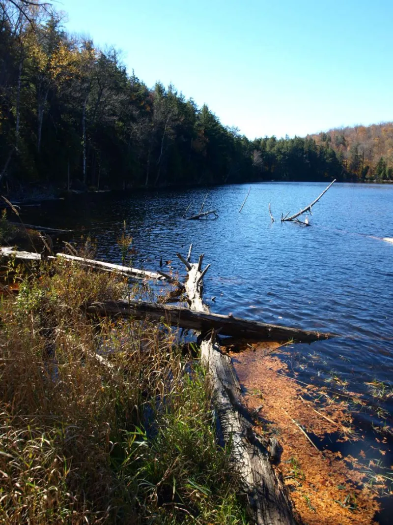
Distance, round-trip: 1.2 miles
Estimated time: 2 hours
Brief overview: From the parking area, walk carefully across Route 3 to access the trailhead. The hike begins climbing immediately and is steep at times. The trail is rocky and rooty, but it's still a fun climb. It's also short, so consider another short hike in the area. The summit boasts really good views of the Seward Range and Tupper Lake.
Other notable features: There is a short path down to Panther Pond from the trailhead. It's a nice stroll to a small pond.
How to get there: Follow Route 30/3 out of Tupper Lake toward Saranac Lake. Continue past the split of Route 3 and Route 30 and stay on Route 3. Continue for about 1 mile to the parking area on the right.
Trombley Landing
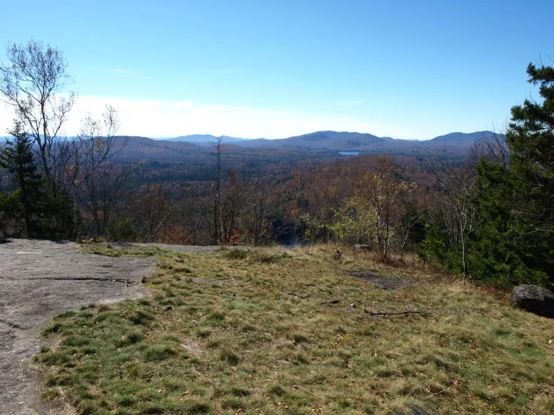
Distance, round-trip: 4 miles
Estimated time: 3 hours
Brief overview: From the trailhead you will drop over the embankment and continue past a gate on a moderate descent through a mixed forest. At the base of the small hill you will be at a small stream crossing, which is a tributary of the Raquette River. Once across the stream it's an easy climb over a small unnamed knob before an easy descent to the river. Soon you will be walking through an attractive boreal forest on a narrow trail. The balsam and spruce here make the trail smell nice. The trail ends at the shore of the Raquette River near a lean-to at Trombley Landing.
Other notable features: The lean-to is easily reached by foot or by boat. Use a canoe or kayak from upstream or downstream to access the landing or to find a nice camping location for the entire family.
How to get there: Follow Route 30/3 out of Tupper Lake toward Saranac Lake. Continue to the split of Route 3 and Route 30 and the trail is on the right.
