of ranger school
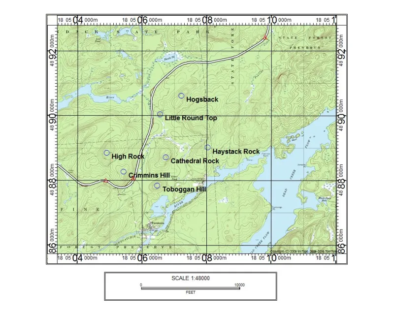
I've had the esteemed pleasure to be a graduate of the SUNY ESF Ranger School in Wanakena. Living on campus and having a large work load, I didn't have a ton of free time on my hands. But even back then I had a fascination with the mountains of the Adirondacks and the ones on the property at the Ranger School were not an exception.
There are seven mountains on the 2,800-acre ranger school property, which was named the James F. Dubuar Memorial Forest after the 37-year director of the school. However, on occasion I had the microscopic free time between silviculture, GIS, forest roads, forest management, and dendrology classes to scamper up a few of them, but it wouldn’t be until later in life that I would go back to see the others. In fact, only up until recently has one of the seven even existed on paper as a named summit.
Well, now I find myself living in area, I mean who would have thought? It was time to go back and see the three I hadn’t visited. Actually, I think there's just one, but I can’t find any pictures of the other two, so I must return. Oh, and by the way, all of these peaks and ranger school trails are open to the public to explore.

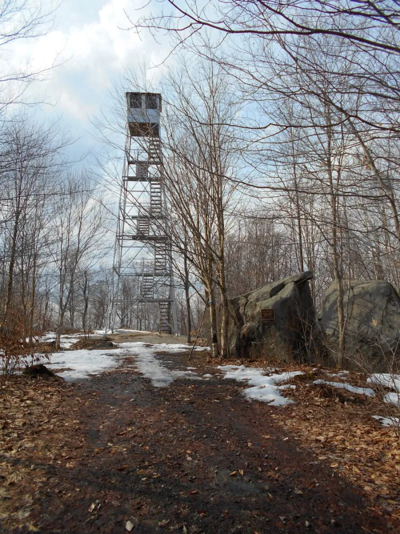
This peak is one of the destinations of the Adirondack Fire Tower Challenge and frequented by visitors quite often. Living on campus it was easy to scurry up this guy, with the trail leading right out the back door. It was a good release from my dislike of trigonometry. I would just hop on the Latham Trail, or if I wanted to extend that walk I would follow the forest roads to the summit. The Latham Trail was just a hair over a mile and quite scenic, so I would find myself there more often than not. I was always rewarded with stellar views from the summit fire tower, which by the way once resided on Tooley Pond Mountain, not all that far down the road. Overall I think I must have visited that tower nearly a dozen times over the course of the 10 months I was at school, and then a few time after I graduated. I still have to ski it at some point.
Haystack Rock
This little guy got its name from its apparent feature, but that’s tough to see with the new growth that’s come up over the years. I actually skipped out on dinner one night and took a short stroll up what is called East Boundary Road. This school forest road got me very close to the summit, where I just had a short skip and jump through the hardwoods to reach the now wooded top.
Toboggan Hill
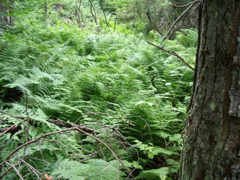
Named after the toboggan run that used to be on the west side of the mountain. The only thing that remains is the faint remnants of the run and the Model T that ran the tow, now all but eaten up by the elements. According to Wayne Allen, a professor of mine, the toboggan run may have been built in the teens or twenties but was surely left inoperative in the fifties. This 1,600-plus-foot peak is as green a summit as you can get, and there's not a lick of a view when there are leaves on the trees.
High Rock
It’s named such because it is the highest point on Dubuar Memorial Forest. We ventured up there for a lab one day, if for no other reason than to take in the nice views from the partially clear summit. We ended up walking the Sugar Bush Road up to an old school trail that was built way before my time, and this somewhat steep little trail delivered the class to a nice perch.

Crimmins Hill
I know I climbed this one while I was at school but for the life of me I cannot find a picture to show it. I returned just a couple weeks ago. Located right off Route 3 it’s an easy access up this untrailed peak. The name is a bit unclear, as Wayne Allen explains, but it is thought that it might be named after a railroad switch called a Crimmins switch, which was located in the region during the times of the Rich Lumber Company. No matter the origin of the name, it’s a neat little peak. Even with its lack of stellar views, the terrain is actually nicely rugged from the south. With rock ledges and rock jumbles it makes for an interesting hike.
Little Round Top
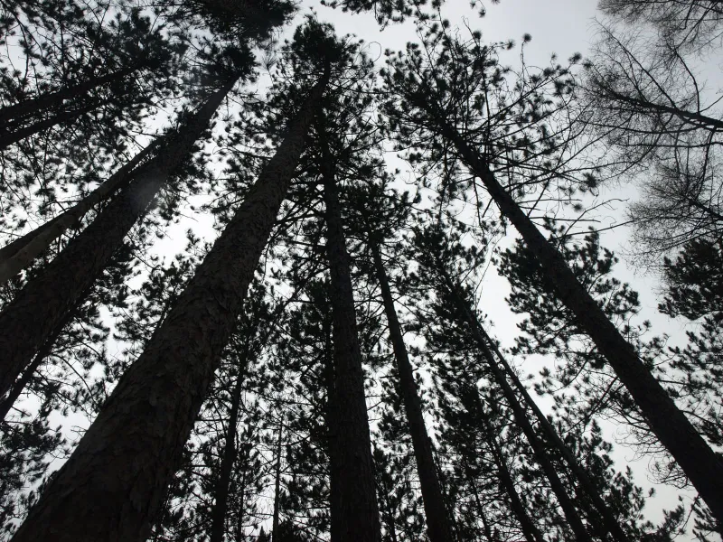
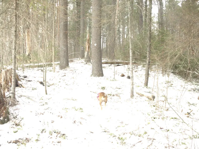
I know during logging we ended up on this little knoll of a peak, which is definitely little and round, as the name suggests. Residing only a quarter mile off the North Road it was an easy revisit last week to snag some pictures. Massive, tall pines coved this small hill, straight as an arrow, dizzying to look up through.
Hogsback
This is the new mountain to the quiver of seven, and only last year was it named by the faculty at one of their board meetings. The name is derived from the look and possibly the fact that it separated two of the school's forest roads, placing a “hogback” between the two. It has only been a few hours since I was here, but I'm pretty sure I was at some point in the past. Abby and I followed the North Road up to the J&L trail, which we followed for a bit until it no longer brought us up the mountain. The open forest welcomed us to a wooded top, and an obvious location for surveying classes.
Eskar Pond
There are a few ponds on the Dubuar Forest but the most popular one is by far Eskar Pond. Eskar Pond is a bog pond with all the special features of wildlife, unique habitat, wildflowers, bog berries, spongy mosses, and a floating mat. This short trail I also used quite a bit during my student career. The trail led right out of the back door and down the Arboretum Road to a short foot trail through a marshy area by hopping on corduroy logs. It's a gem of a spot, for sure.

Grassy Pond
This is the other named pond on the property and it's actually a very scenic one, especially in the fall. I had only been here once during a brief two-hour hiatus from the grind called “the roads project.” Using the Cathedral Rock trail and the Frost Pocket trail, I could easily reach the pond for a few moments of peaceful relaxation, alone.
So, while you might be out there hiking Cathedral Rock, I highly recommend a short visit to Eskar Pond, the Frost Pocket, and Grassy Pond — after all, you don’t have a forest inventory course to finish up.
After you've sampled the ranger school hikes, check out these other hikes in the Tupper Lake Region. All hiked out? Go biking, birding, or camping.
