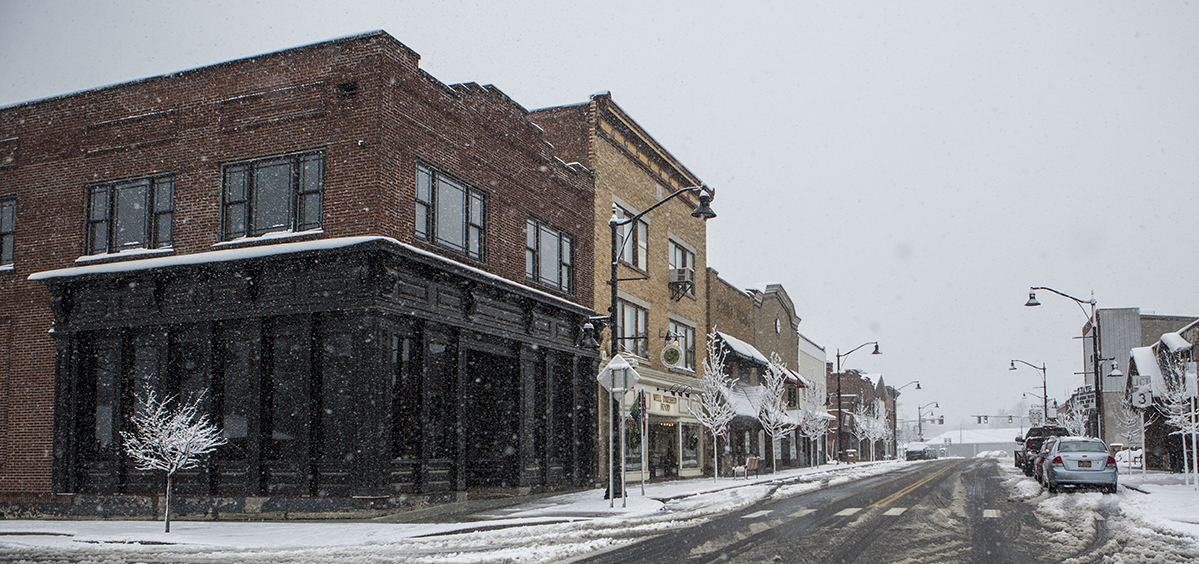
Traveling like a local...
I don’t know about you, but I know that when I’m traveling, I don’t want to feel like a “tourist.” I want to experience things like a local — dine where the locals dine, discover those top-secret local swimming holes, and shop those funky off-the-beaten-path shops and stores. Then, I want to end my day by pulling up a stool next to the locals at the well patronized favorite watering hole.
When it comes to asking for directions — that is a time when I’m not afraid to feel a bit like a traveler. After all, if you don’t ask, then how else would you expect to find all of those great insider secrets??
When I’m home, I love listening to people give directions and/or talking about places -- mainly because I get a kick out of the different ways in which locals refer to our locations and landmarks. No sign will ever help you to:
-
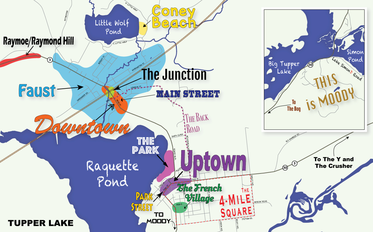
"Take the back road down to Junction, hook a right and then the fourth left and you will find Coney Beach" or
-
"Follow the Four Mile Square, then take a right -- just before you get to the Y you will see the sign for The Crusher on your right."
Ya lost yet? No worries, because I'm breaking down all of this for you...
Navigating Tupper:
A Glossary of Terms
Listed in alphabetical order. This is by no means an all-encompassing list - just a starting point with the most generally used and/or misused terms.
Coney Beach
Translation: Little Wolf Beach
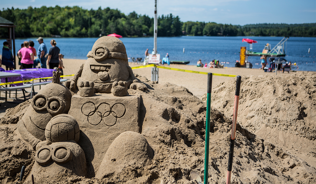
Origin of the Term: While Little Wolf Beach has never technically had the official name of "Coney Beach," in 1921 a trio of entrepreneurs did build the Coney Beach Pavilion. The 112-foot Pavilion featured an 11-room hotel, kitchen, spacious dining room, a large dance area, 28 bathhouses, a long boardwalk, and wide porch extending the length of the building. Unfortunately, a little over a month after they celebrated the grand opening, the building was lost to a massive fire. While the Coney Beach Pavilion was short lived, the name was not. Today many locals still refer to Little Wolf Beach as "Coney Beach."
Downtown
Translation: Downtown or The Main Street Business District
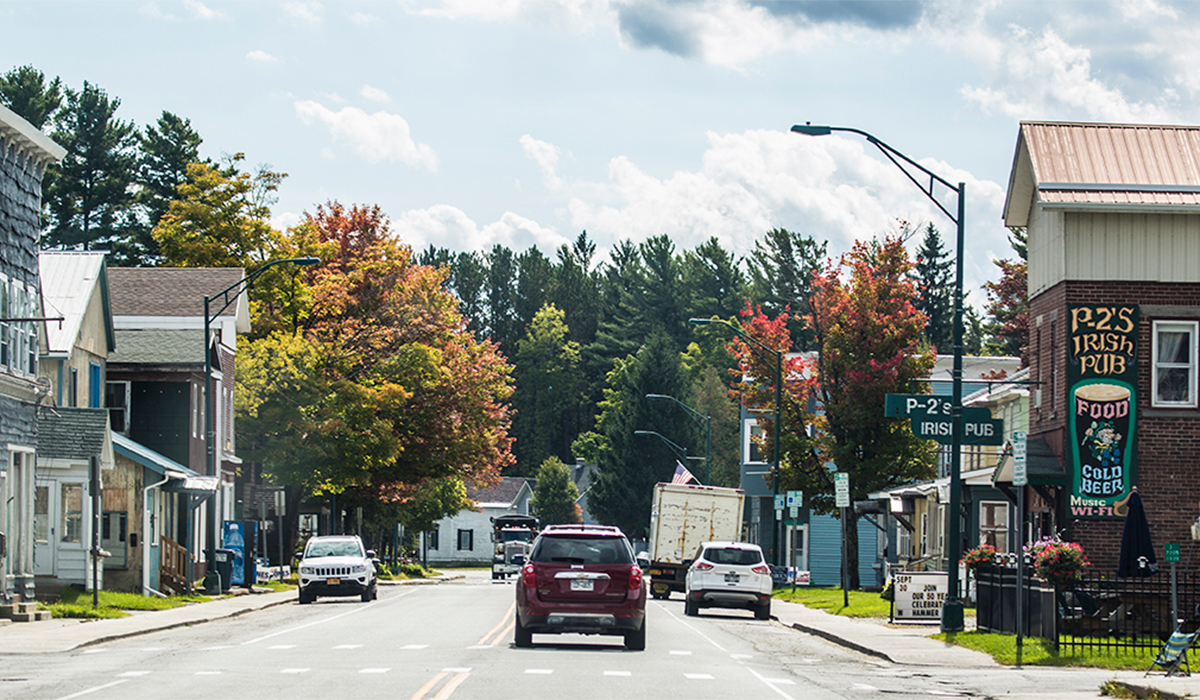
This one doesn't seem like it should be confusing and to locals it isn't. However, travelers often believe they are downtown when they are in the Park Street Business District -- because, after all, it does sort of feel like "Downtown." The catch is, Tupper Lake really has two downtowns, but if locals direct you to "Downtown," they are most likely referring to the Main Street Business District. (See: Faust, Main Street, The Junction, Uptown).
Faust
Translation: Downtown area
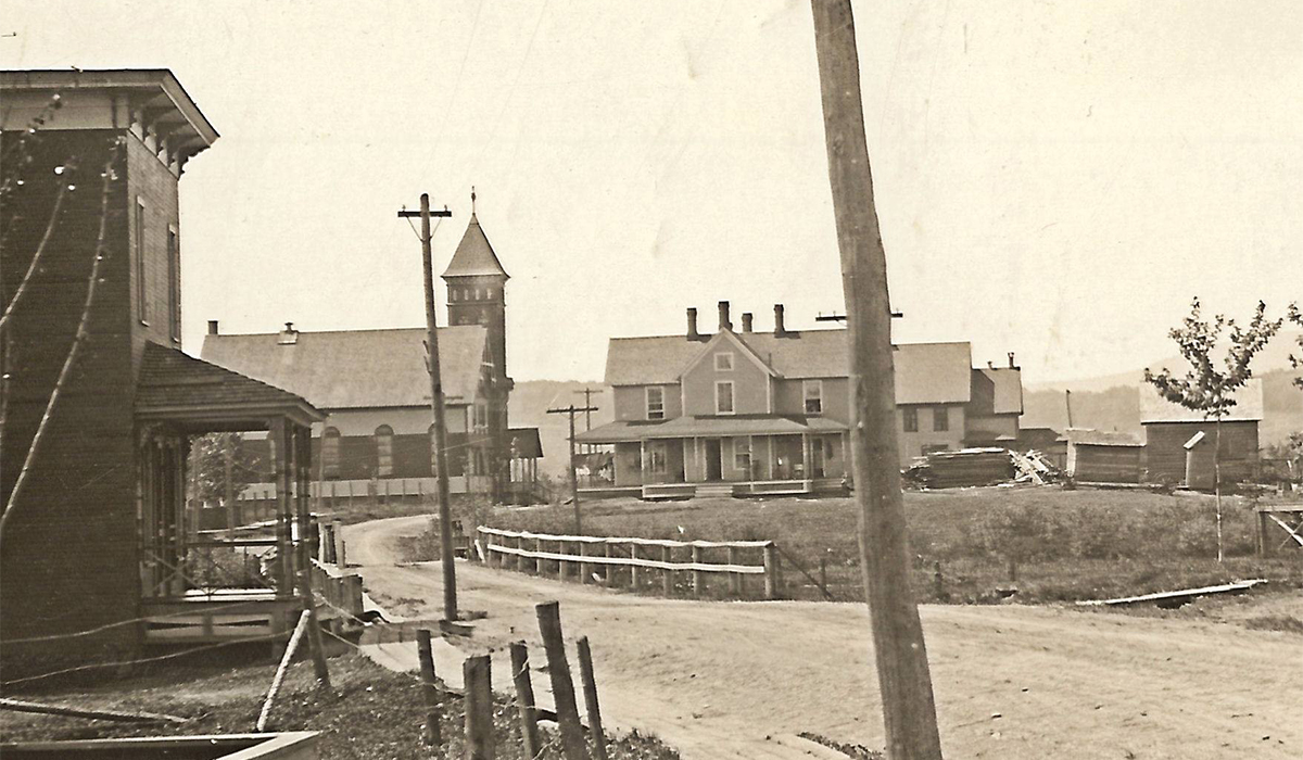
Once upon a time, there were two villages, one was named Faust and the other Tupper Lake. Those two villages met, courted, and in the 1940s united to become one. Today, Faust, NY is no longer recognized as a separate village -- except for to locals. Faust started where Main Street and Demars Boulevard meet and extended west towards the Holy Name Cemetery. (See: Downtown)
Interesting Fact: The name Faust came about when the wife of the first postmaster was asked to choose a name for the Post Office. She chose the name of the title character of Goethe’s play.
Four-Mile-Square
Translation: Park Street, Hosley Avenue, Stetson Road & Wawbeek Avenue.
Locals refer to the large square made up by Park Street, Hosley Avenue, Stetson Road & Wawbeek Avenue as the Four-Mile-Square. It is a popular walking & jogging loop year round.
Question: How long is the 4-Mile-Square?
Answer: 3.15 miles. But the three-point-one-five-mile-square is much more of a mouth full, I guess. Then again, it really isn't a square either.
Main Street
Translation: We really mean Main Street -- not Park Street.
Hopefully, by now you know that Main Street is Downtown, however many still refer to Park Street as Main Street. (See: Uptown)
Moody
When you head south along NYS Route 30 from the Village of Tupper Lake you will find Moody. Its general boundary is considered to be just before the causeway or what locals still sometimes refer to as Moody Bridge (referring to the old steel bridge that once stood there). It was named after Martin Moody, an Adirondack Guide, storyteller, and hotelier who owned & operated the hotel appropriately called Moody.
Park Street
Translation: Not Main Street!
(See: Main Street, Uptown).
Raymoe (or) Raymond Hill
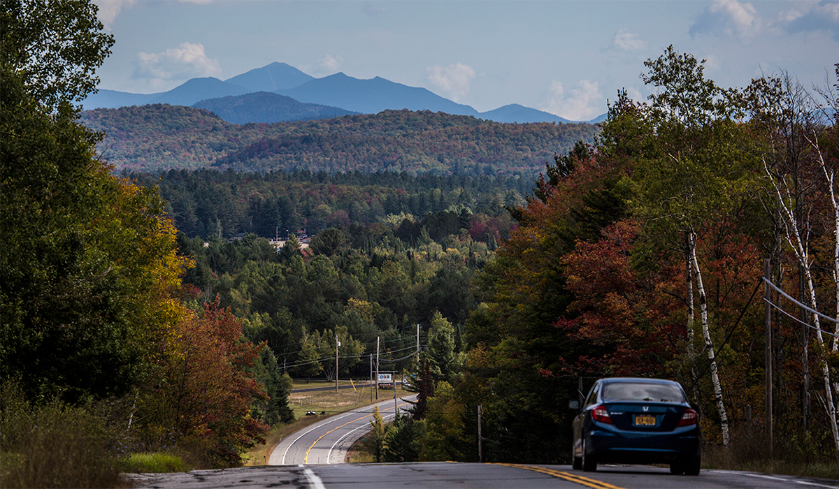
As you approach Tupper Lake from Piercefield on NYS Route 3, you will come down a large hill that rewards you with views of Tupper Lake, Little Wolf Beach, and the High Peaks in the distance. This hill is referred to as Raymoe or Raymond Hill. Historical accounts lead to this hill being named after the farmland along and at the base of the hill.
The Back Road
Translation: McLaughlin Avenue & Leboeuf Street
There are a lot of back roads, but when someone says take "the back road" they are most likely referring to the alternative of using McLaughlin & Lebouf Street to connect Downtown & Uptown.
The Bog
Translation: Bog River Falls
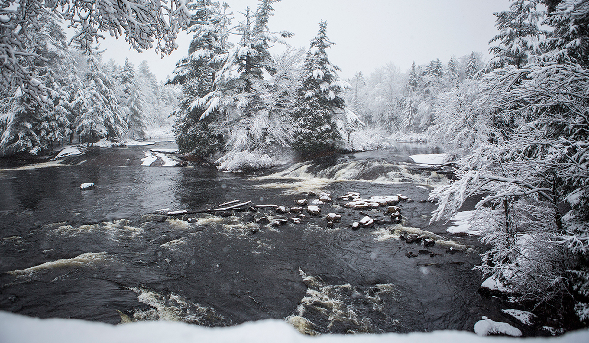
Why we downplay such a beautiful location is besides me... well, maybe it is simply to keep it our hidden secret. Bog River Falls, referred to locally as "The Bog" is a beautiful cascading waterfall at the southern tip of Big Tupper Lake. You can reach it by car via County Route 421.
The Crusher
Translation: Raquette River Boat Launch
The Crusher may sound like a seemingly odd name for a boat launch on such a placid, meandering section of the Raquette River. Why is it called this? Well, reports indicate that it was named that as it is the location where the stone crusher was located while they were building the adjacent Byway.
The Junction
Translation: Downtown/Main Street Business District.
If someone sends you to "The Junction" they want you to head Downtown. It is referred to as The Junction as that is where the trains stopped. (See Downtown, Faust, Main Street).
The French Village
Translation: The extended area around the intersection of Wawbeek Avenue & Broad Street
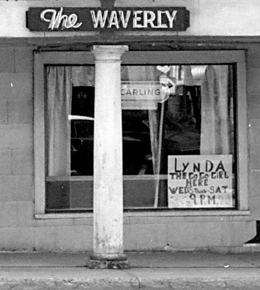
Named after the congregation of French Canadian settlers and business owners who laid roots in this section of town, The French Village featured hotels, bars, and stores owned by French-Canadians. Today, the French-Canadian heritage still lives strong in Tupper Lake.
The Park
Translation: Tupper Lake Municipal Park
While the Tupper Lake Region boasts a number of beautiful parks, playgrounds, and picnic areas, if someone sends you to "The Park," you are being directed to the expansive Waterfront Park along Raquette Pond.
The Y
Translation: The Intersection of Routes 3 & 30 East of Tupper Lake.
At one time this really was a Y.
Uptown
Translation: Park Street business district area.
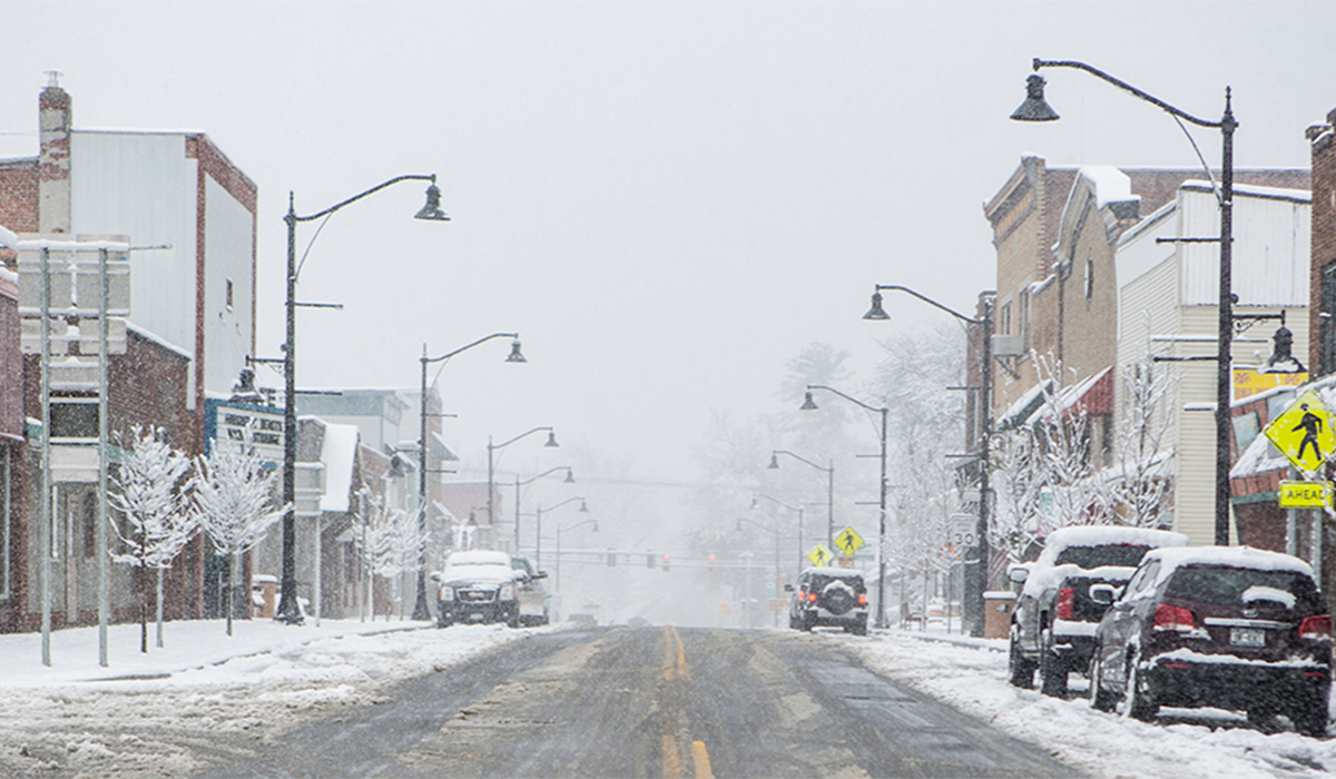
So as we have covered that Park Street is not downtown, or the other downtown, so the question remains, what is it? Locals most often refer to it as "Uptown."
Interesting tidbit: A longstanding "local rivalry" once existed between the uptown and downtown school students. Uptown students referred to those from downtown as "Swamp Rats," while the downtown students called them "Mountain Goats."
Bonus: The Hunt for Lake Simond
This one I don't have answers for as it has puzzled me for some time. The body of water that is to your left as you pass through the causeway heading south into Moody is Simon Pond. However, the road that runs along the southern side of the lake is named Lake Simond Road. So where does the lake come in, or curiously the 'd'? Did someone naming roads just get lazy? Did someone decided that they prefer it be called a lake rather than a pond? Or is there a hidden lake that I'm completely missing out on?
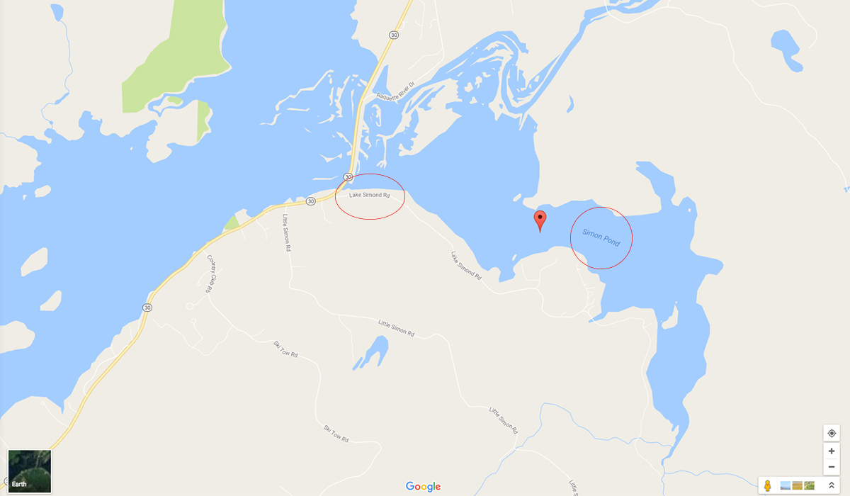
If you have insight on this one, please let me know in the comments section below.
Come test your lingo...
With your glossary of terms now loaded in your phone, I'm confident that you're ready to translate our "local directions" into useful tips to help you discover the insider spots in and around Tupper Lake. Don't wait, start planning your trip today. First find lodging, then come spend a weekend connecting with your Tupper Lake lingo as you travel like a local.
