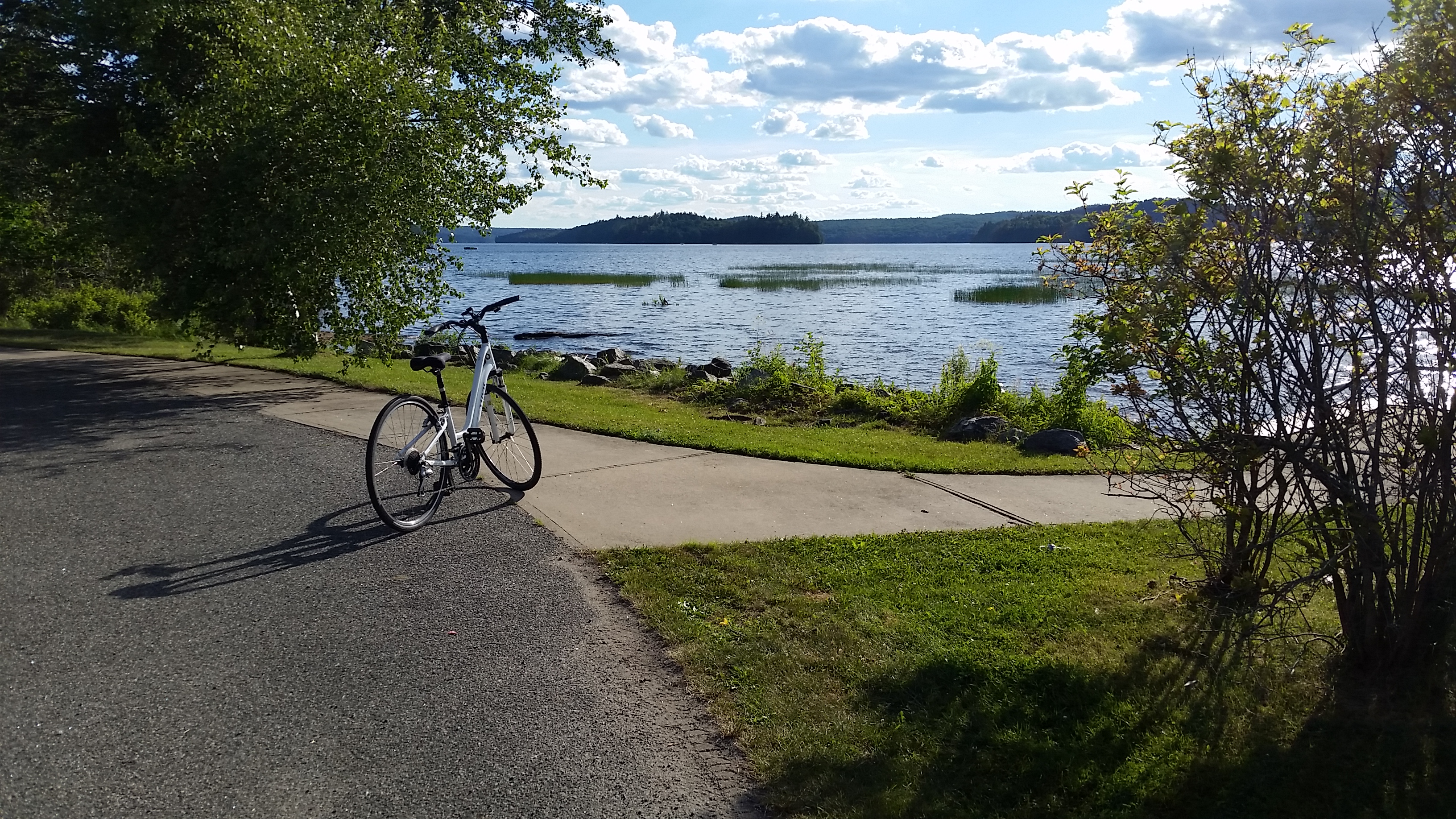
Six places to ride - select your level!
Why I bike
My personal goal is to ride different locations to build strength and endurance to maintain my weight and enjoy the outdoors. On all but one of the rides listed below, I rode alone and did not stop for pics. Photos were taken after the ride so that I could report the time each ride took more accurately.
How many calories one burns depends on many variables, including your personal metabolic rate and level of effort — generally men burn more calories as they have more muscle mass. The levels below are, of course, my own opinion.
Junction Pass – very easy
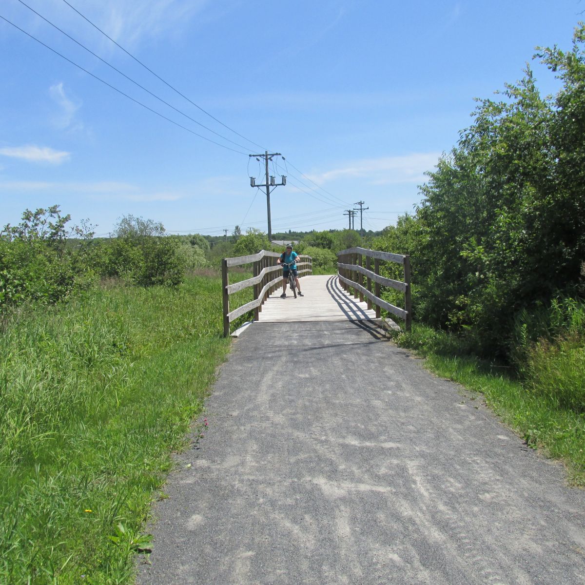
This is a great trail for new riders or anyone looking to get reacquainted with their bike. My friend Deb wanted to get back on the saddle after not biking for several years. She desired easy, flat terrain to practice shifting and to regain her confidence. The Junction Pass proved to be a perfect ride; it's 1.93 miles from the Tupper Lake Train Station on Depot Street to the parking area near the playground on Mill Street.
While riding the packed gravel trail, you will cross a few streets and wooden bridges, and see wildflowers, the historic Oval Wood Dish smokestack, and you will ride through a beautiful wooded area. At the Y we veered to the right, which brought us behind McDonald’s, then we crossed the highway and rode a short distance along Demars Blvd. We turned into the Raquette Pond boat launch area and picked up the shoreline walkway toward the new band shelter (under construction) and the children’s playground area. We turned around at the Mill Street parking area next to the playground. On our return, we rode to the end of the shoreline walkway, looped back to the boat launch area and back to Demars Blvd., crossing the highway in front of McDonald's. We got chatty about bikes, bike repairs, tires, and general maintenance, so I won’t waste your time. It was a short easy ride, great for a beginner or someone with limited time. You can add onto this ride and visit our local beach, The Wild Center, or Park Street — the distance is up to you!
Pitchfork Road and Haymeadow Drive – easy to moderate
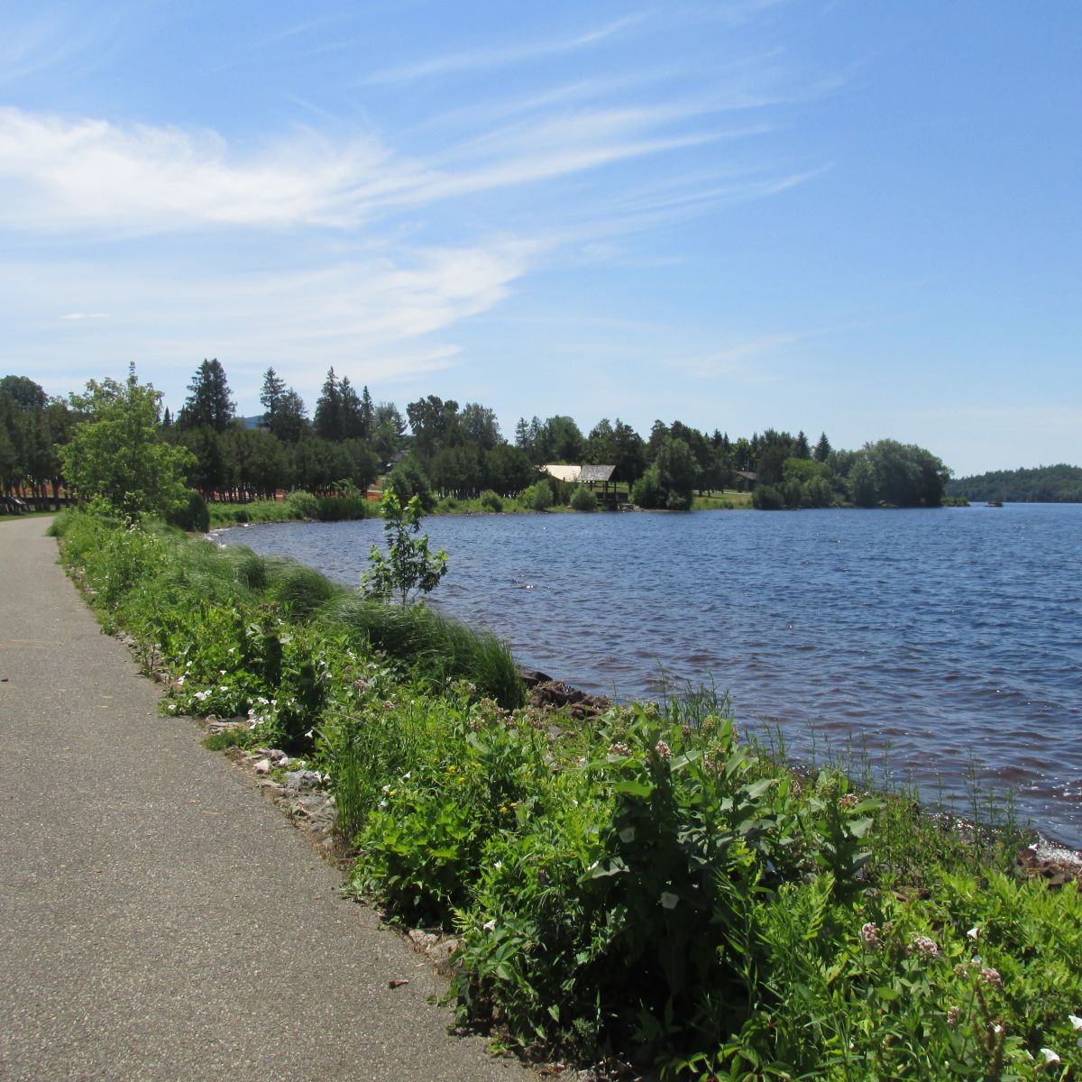
Heading west on Route 3, Haymeadow Drive will be 2.62 miles after McDonald's on your right. The four-way intersection where I parked along a rustic fence on Pitchfork road is just a short distance away. This is a very short ride on a flat back road with only a couple of homes in view.
I headed west on Pitchfork Road and biked until I reached the end of the pavement, then I turned and went the opposite direction as far as I could on Kildare Road. This was not far enough so I did a detour on Mitchell Lake. It still wasn't far enough, so I extended this ride by going onto Haymeadow Drive and biked into each cul-de-sac (Spruce, Cherry, White Pine, and Sugar Maple roads) on the way in and on way the way out. Even though there are hills most of the ride is easy, so I gave it an easy to moderate rating. If you can’t ride up the hill, walk it, but don’t allow a hill to stop you! This ride of 7.24 miles took 40 minutes. It was still too short so I did it again! Admittedly I was going slower than normal as I was enjoying the lovely homes and landscaping.
Route 30 state boat launch to Bog River Falls – moderate

This round trip ride of 14 miles took me 55 minutes. Route 30 has a bike lane that is very wide, you have great views of Tupper Lake, and the highway itself is very scenic with an abundance of wildflowers and cliffs. There are hills; although they are long hills they are not terribly steep. Bog River Falls is a must see in Tupper Lake and would be a great place to have a snack or lunch, and if you are so inclined take a slide down the natural rock slide on the left hand side of the road. To ride to the bog, starting at the launch site, head south on Route 30, take a right on Route 421, and you will be at the falls when you come to the beautiful stone bridge.
Tupper Lake Country Club to the gate at Mt. Morris — more difficult
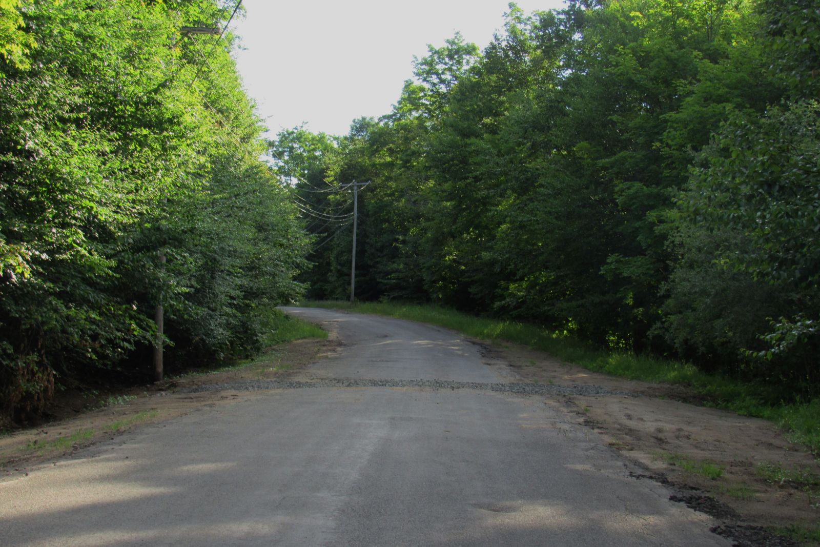
This short ride is only 3.15 miles round trip, and it took me 22 minutes. You encounter the worst hill after you pass the marsh, on both sides of road. Depending when you go you will see the cattails or remnants of them in the marsh. You cannot see the top of this particular hill as it goes around a sharp curve. You do need to be aware of the sand, speed bumps, potholes, and critters! A mouse and several chipmunks crossed my path. The elevation gain was 370 feet and I burned 114 calories according to my app, Map My Ride. It is a good workout in a short period of time. Going back to your vehicle is a lot of fun, and it's all downhill! It is so much fun you may want to do it again.
Route 30 state boat launch to Lake Simond Road — more difficult
This ride is a mere 5.31 miles, it took me 31.56 minutes. After parking at the DEC Route 30 boat launch head North on Route 30, don’t cross the bridge, instead bare right onto Lake Simond Road, Raquette River Outfitters, one of my favorite shops is on your right near the Lake Simond Road entrance. As you near the outfitters, be sure to check out the wild roses on the left and the ditch in front of the Outfitters, which has a variety of perennials. The homes on Lake Simond Road are wonderful to view and the foliage is too, you will also enjoy the non-residential sections. There are a couple of spots to view the lake, the boat launch across from the Rod and Gun Club is a perfect place to stop for a snack or a drink or to take a swim!
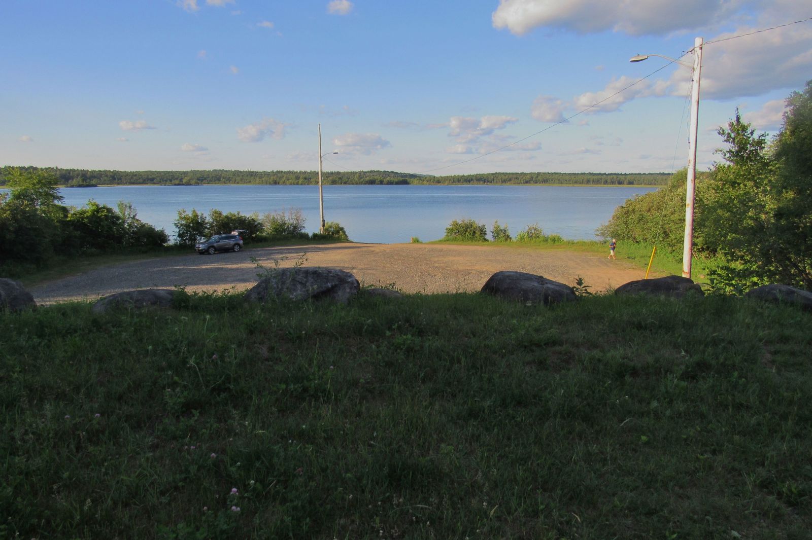
This ride starts our flat, but don’t let it fool you. The hills on Lake Simond are not long, but they are short and steep, especially one in particular! I was not in the right gear on a couple of the hills, so I struggled to get up them. I burned 165 calories on this ride, the elevation gain was 271 feet.
Country Club Road to the Route 30 state boat launch – most difficult
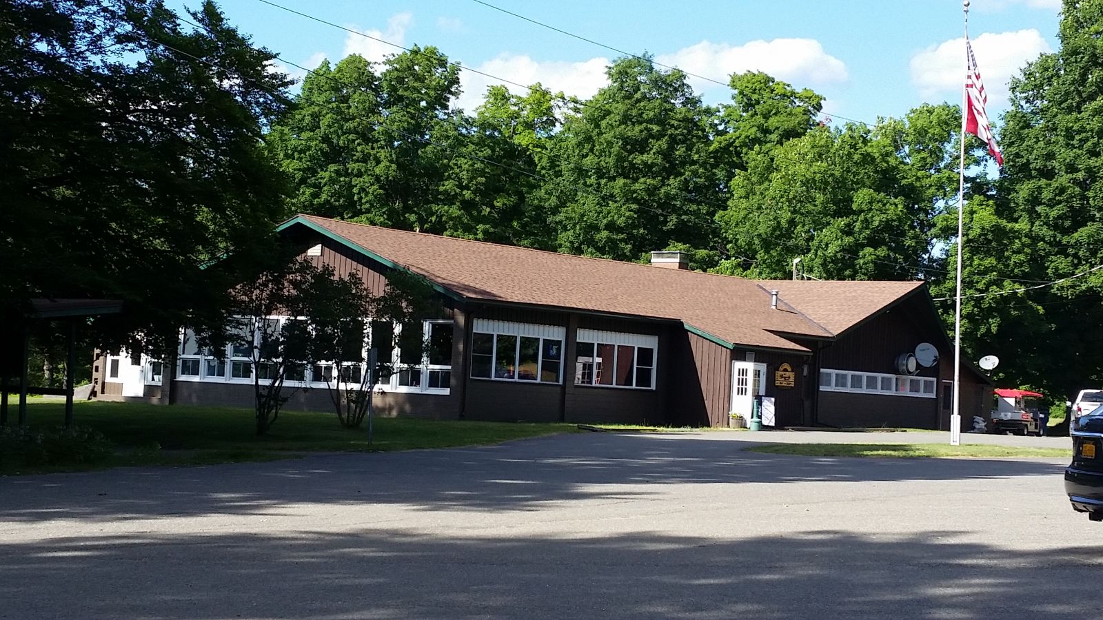
This ride was 2.65 miles and it took me 13.25 minutes, round trip. It is a fast and easy ride to the launch site; the ride up is the workout! On my return, I rode south beyond Country Club Road to the Red Top Inn, so I could approach the big hill with speed! Not having to cross Route 30 enabled me to maintain my momentum as the incline begins right at the base of the hill. This section of the Country Club Road is much harder than riding from the Country Club to the gate at Mt. Morris. As you approach the golf course, watch out for flying golf balls! Your lungs and legs will be working hard. The beauty of these rides, especially the third, fourth, and fifth rides on this list, is that you can combine them to make a longer ride. I plan to ride from the boat launch to the gate at the base of Mt. Morris when it is a bit cooler.
Burn calories and enjoy the scenery around Tupper Lake. Cycling is a low impact sport that can be enjoyed by all ages, and it can be as intense as you want it. Benefits include: increased stamina, strength, aerobic fitness, cardiovascular fitness, joint mobility, strengthened bones, and reduced anxiety and depression. So why not get on a mountain bike, road bike, or cross bike and enjoy our beautiful Tupper Lake areas? You'll need to eat once your ride is over, then it's time for a craft beer!
