Hiking, paddling, and camping along Coreys Road
Coreys Road, between Tupper Lake and Saranac Lake, provides extraordinary access to all the types of recreation that make the Adirondacks special. Several free campsites dot the roadside as you make your way along Coreys Road, begging to be basecamps for some classic hiking, paddling, and backpacking adventures in the Forest Preserve. Go for the day, or try to grab one of the car camping spots, and enjoy the trail systems, paddling routes, and campsites that are all within 10-15 minutes of each other.
Access
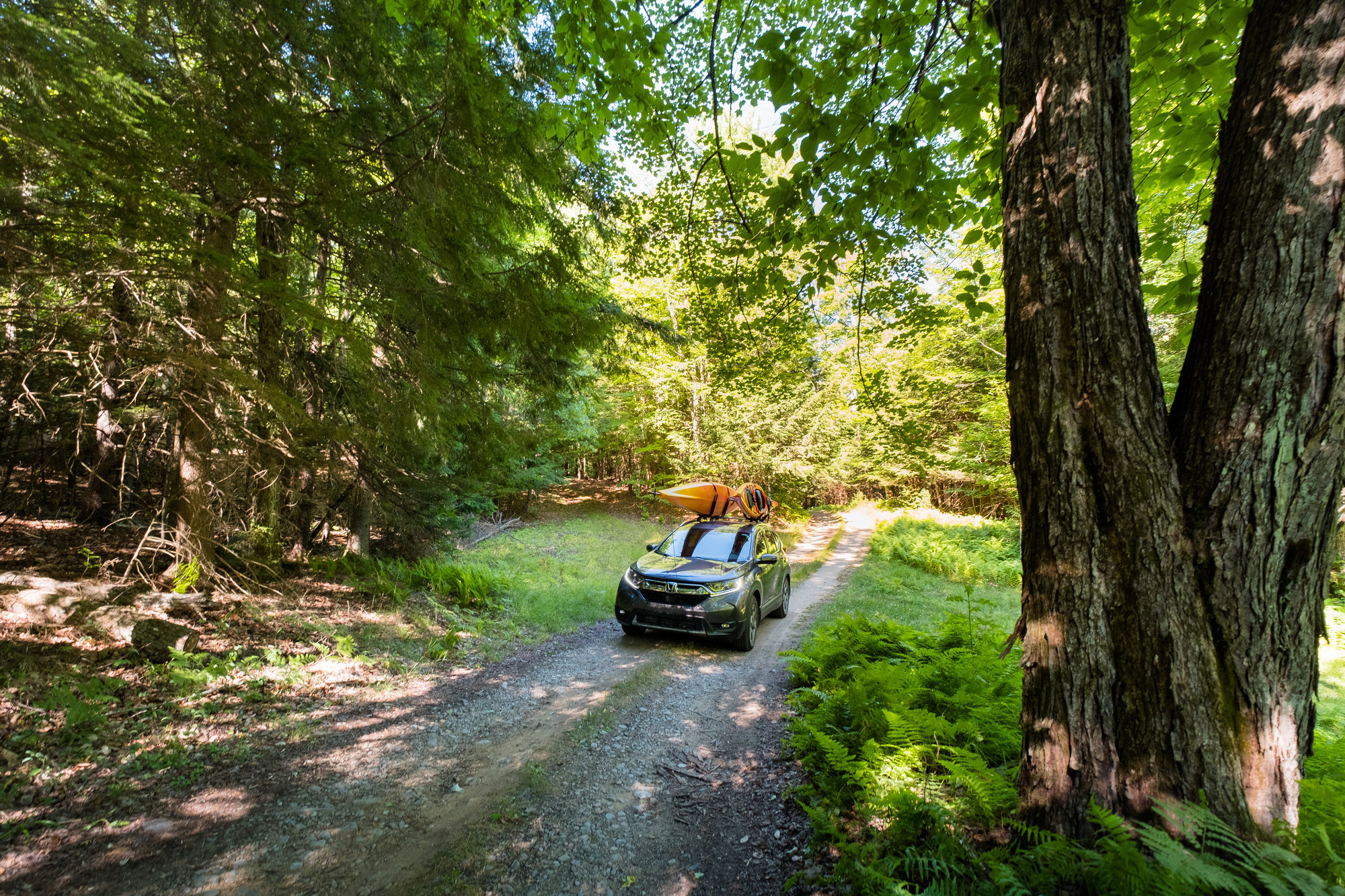
You’ve likely noticed the road and the classic yellow and brown Adirondack-style sign that signals its entrance if you’ve driven between Tupper Lake and Saranac Lake. From its start on the south side of State Route 3, the road continues for 5.5 miles to the end of the publicly accessible portion at the Seward Trailhead. After a few miles of driving, the tarmac transitions to hard-pack dirt, and while most vehicles can access all of this road, it can be rough in spots for small vehicles. The trail closes during winter and the shoulder seasons, check the NYSDEC website for up-to-date information.
Hiking and backpacking
You can be straightforward or creative in planning day hikes or backpacking trips from Coreys Road. Ponds within a stone’s throw of your campsite, waterfalls at a half-day distance, or full-on High Peaks experiences in the Seward Range are all within striking distance.
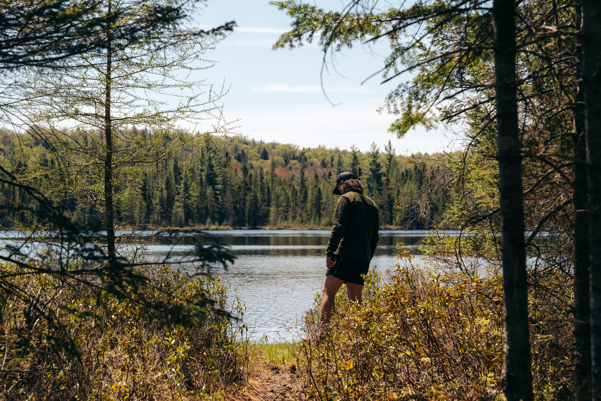
Two ponds towards the middle of Coreys Road can be seamlessly combined into a great day on, in, or by the water. Rock Pond, the first of the two you reach on the road, is reached with a mellow 0.4-mile one-way trail to the craggy shoreline. Highlighted by a stand of towering hemlocks, the trail doesn’t zig-zag too much, making a break for the pond after a short incline to the height of land. Cedar-enclosed viewpoints, interspersed with small open areas, are found when you first walk up to the water’s edge. Boulders line the bank, creating little lunch spots and warm places to lounge if you decide to get in the water for a swim. A bit further down the road, Pickerel Pond has its own unique characteristics that distinguish it from Rock Pond. It isn’t lined with refrigerator-sized boulders, and is a shorter trail, making it an easy carry for your canoe or kayak. Grab a snack at the grassy shore after the mellow hike in, and have a small adventure out on the water, or walk around the water’s edge, taking in views of the towering Seward Range to the east.
A popular winter cross-country ski, the trail to Raquette Falls from Corey’s Road is a step up in distance and elevation gain. Leaving Corey’s Road from the winter trailhead for the Sewards, the wide trail undulates over gently rolling hills, reaching the edge of a few small ponds on the left, and a couple of sections of the Raquette River on your right. After just over 4 miles, you come to one of the few NYSDEC outposts in the Forest Preserve, which happens to mark the start of the falls and rapids. The trail narrows, the roar of the water gets louder, and around three-quarters of a mile past the Outpost, you reach the Upper Falls. The tannin-tinged water of the Raquette flows over rocky protrusions, similar to that of the Lower Falls closer to the Outpost. There are some safe options for getting closer to the Falls, both above and below, with an option to continue to the canoe carry trail and make a loop. The entire trip, from Corey’s Road to the Upper Falls and back, clocks in at 10 total miles, with around 1,100 feet of elevation gain.
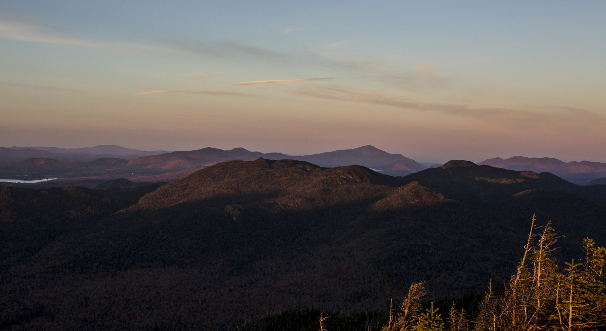
For the experienced hiker, Corey’s Road is the jumping-off point for four Adirondack High Peaks. The Seward Range is typically split into two trips, with Seymour being hiked in isolation, and the other three peaks being done in a long day hike. There are a few lean-to and backcountry camping sites along the Blueberry and Ward Brook trails to extend the hikes into a backpacking adventure. The trails for these peaks, all part of the 46 High Peaks, are unmarked, and diligent planning and preparation should be done prior to a trip to tackle them. Local hiking resources like the Adirondack Mountain Club, are invaluable and can provide expert information on trails, as well as gear and guidebooks necessary for a safe adventure.
Canoeing, kayaking and paddleboarding
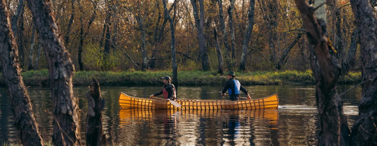
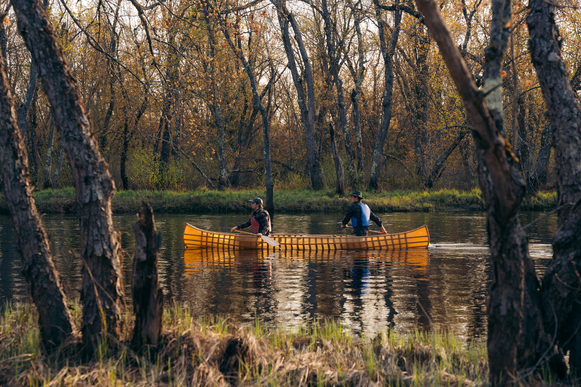
Coreys Road runs south, adjacent to Stony Creek Ponds, before turning east at the confluence of Stony Creek and the well-known Raquette River. At the elbow of the road is perhaps one of the most historically significant, and recreationally popular jumping-off points for paddling, Axton Landing. Once a small community originally named “Axetown”, Axton Landing was an epicenter for historical logging operations, and now is more famous for being a paddler's paradise. Being adjacent to the Northern Forest Canoe Trail adds to the allure of this put-in, not to mention the range of river and pond trips you can seek out from here.
An often suggested trip and one whose midpoint is marked by a roaring cascade is Axton Landing to Lower Raquette Falls. Taking a sharp right to go upstream on the Raquette from Axton, you’ll meander around many oxbows en route to the falls. While the approximately 13-mile round-trip paddle is against the current, the speed of the flow is slow. Along the way, there are plenty of places to pull your boat out of the water for a bite to eat at one of the streamside campsites, or even at the sandy areas near the lower falls. Many of the campsite areas also have small, sandy beaches, and because the river runs rather slow, taking a dip on a hot summer day is undoubtedly the best way to break up the trip.
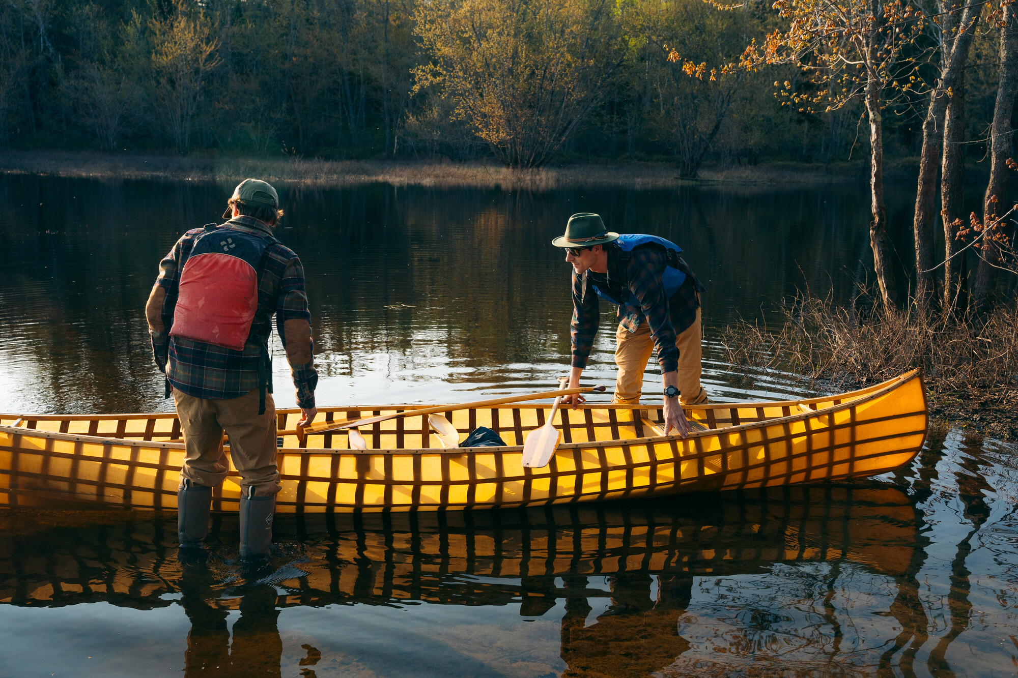
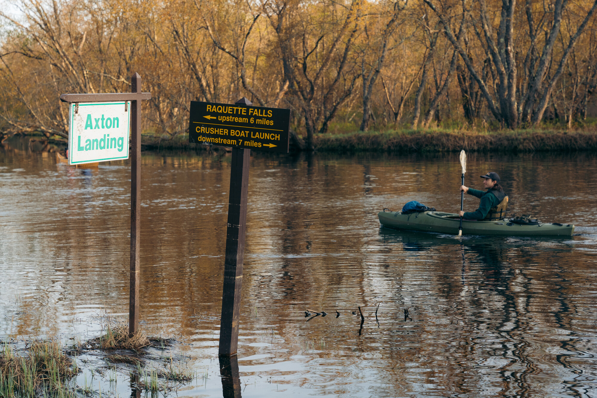
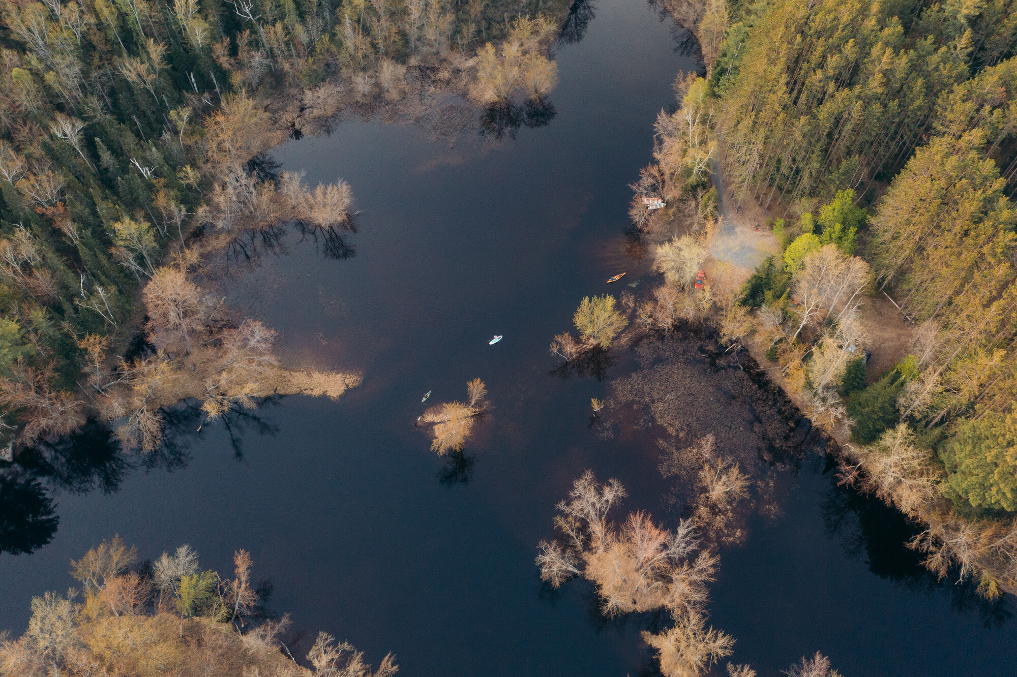
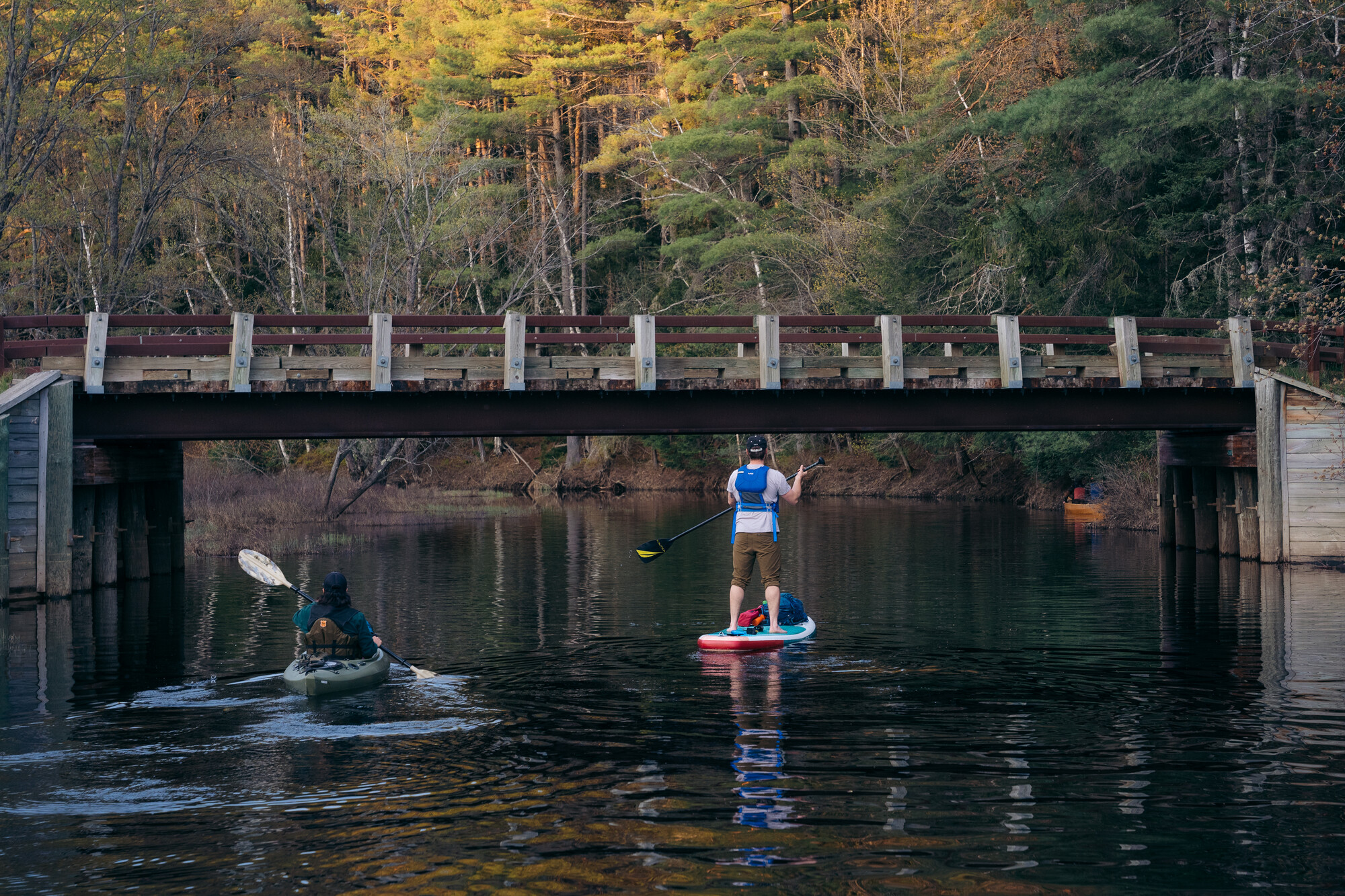
If 13 miles feels like a bit of a challenge, snaking your way up Stony Creek from Axton Landing to Stony Creek Ponds is about half the distance round-trip, but every bit as enjoyable. You can start from Axton Landing, take the sharp left, then another left into the creek, or if parking is full you can try to park at the first campsite next to the bridge that you go across following the bend in Coreys Road. Something distinct about adventuring up the alder and maple-lined shores of Stony Creek is the option to explore some more open bodies of water, as opposed to the narrower profile of the Raquette. Explore the little bays and back-end ponds along the open water, and take some time to swim and have a picnic. Part of the Tupper Lake Paddling Triad, going from Axton Landing to Stony Creek Ponds will have you well on your way to completing all three paddles!
Camping
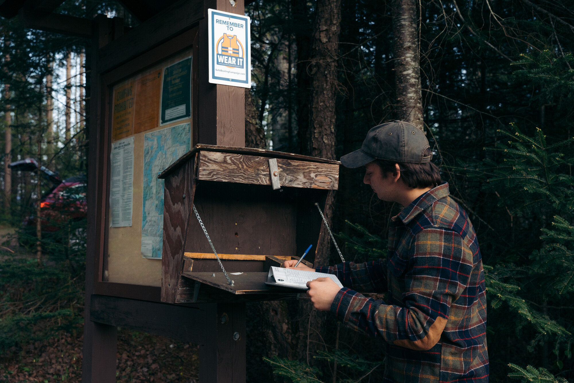
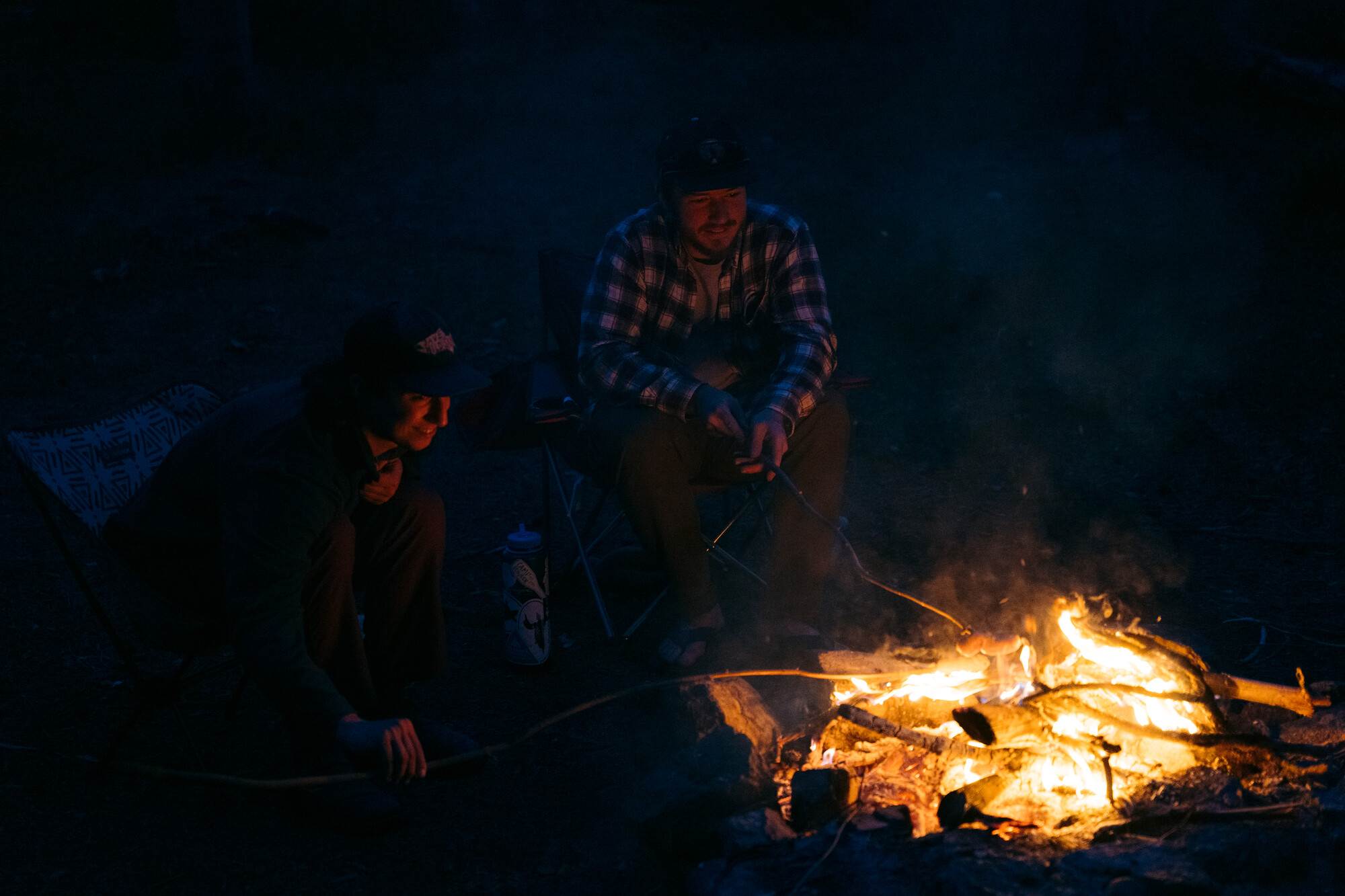
Does combining a few of these adventures seem enticing? Starting at Axton Landing, and along the way to the Seward Range trailhead, there are approximately 10 free, first come, first served campsites. A majority of these sites are roadside, have fire pits made of large stones, and provide unparalleled access to all of the recreation opportunities that exist within minutes of the sites. Because of this, the sites are often busy, so you should plan on getting one early or on a weekday! While you’re spending time in these public campsites and spaces, being responsible and following Leave No Trace principles allows for others to enjoy the outdoors after you’ve packed up your tent and put out that campfire!
Whether you're planning on coming for a few nights or doing a day trip to paddle or hike, taking some time in Tupper Lake to stock up on camping supplies or celebrating your successful adventure with food and drinks at a local brewery, is a must!
